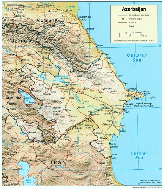
Mount Shahdagh is located northwest of Baku, near the Russian border. The closest town shown on this map is Qusar.


We left Baku on June 26 in a caravan with some friends who showed us the way. After about four hours, Mount Shahdagh came into view. You actually lose sight of the peak as you get closer and into the mountains.


Mount Shahdagh is the highest peak lying wholly within the borders of Azerbaijan. At 4243 meters, it is almost a 14'er at  13,921'.  Click on the picture to enlarge.


The road to Suvar (where we would spend the first night) is pretty tough and requires 4-wheel drive. Unfortunately the slow going and steady uphill caused us to overheat. We had to wait a while before topping off the radiator with bottled water.


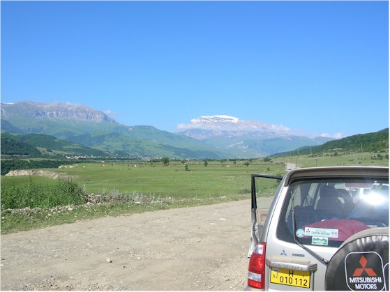
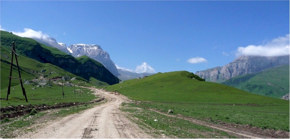
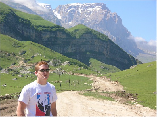
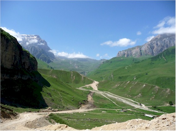
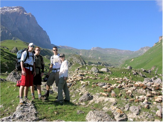
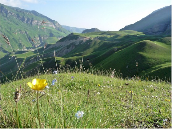
 The valley leading to Suvar is beautiful.


With an eye on the temperature gauge, we headed downhill into the valley.


There are several nice waterfalls on the way.


Terri and the boys on a beautiful day in the mountains.


The town in the lower right of the photo is Laza, the last you encounter before Suvar.


After one more rise, Suvar appeared at the end of the road in the distance.


The cabins at Suvar are very nice, with a small restaurant and a gazebo up the hill where you can cook out.


A nice view up the valley, where we would head the next morning.


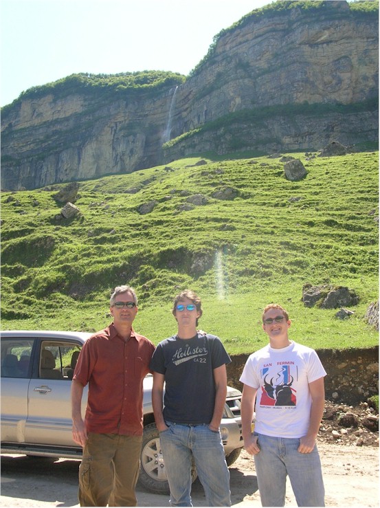
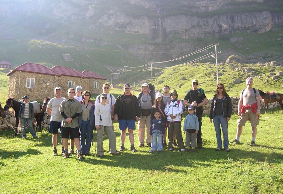
Our crew, left to right: Jafar, Lawson, Brad, Spencer, Terri, Kirsten, Ian, Alain, Paul, Gavvie, Neesa, Farid, Nunu, Devvie, Alan, Diana, and Steve.


Spencer, Brad, Ian and Kirsten along with several hundred of our new goat and sheep friends.


Gavvie watches as our friends move higher.


Terri takes a breather on a very warm day.


A view back the way we came, towards the cabins.


go to page 2


back to home page