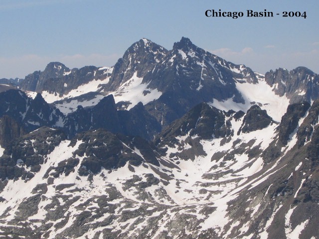
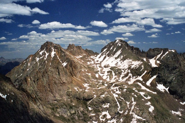
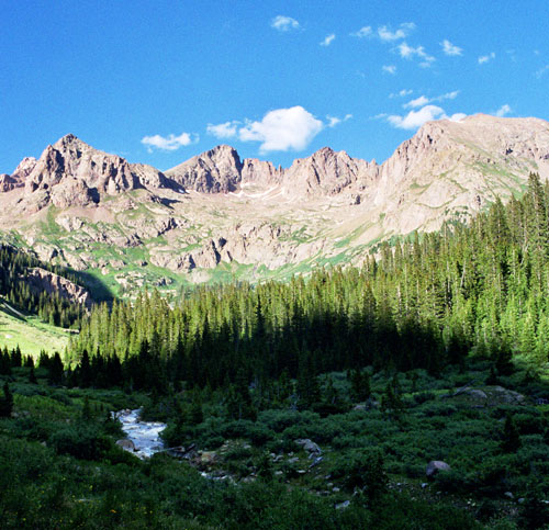
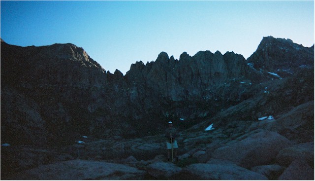
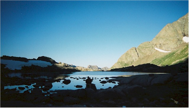
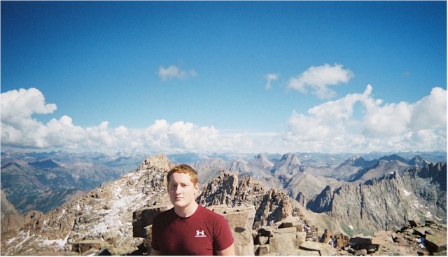
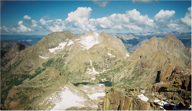
The Chicago Basin lies in the San Juan Range between Durango and Silverton, CO. The Basin is bounded on the North by four 14,000' peaks - Mt. Eolus, North Eolus, Sunlight Peak, and Windom Peak. Here are Windom (left) and Sunlight (right), as viewed from the north; Chicago Basin is on the far side. This area is 14 miles from the nearest road, but a closer trailhead is accessible via the Durango - Silverton Narrow Gauge Railroad, which is how Bradley and I went. This is a Ryan Schilling photo.


Here are (L to R) Sunlight Peak, Sunlight Spire, and Windom Peak as viewed from the west. This is an Erin Burr photo taken from the summit of Mt. Eolus.


The train follows the Animas River, and drops the backpackers off at the Needleton Trailhead (elevation ~7700'), near the junction of the Animas and Needle Creek. The trail to Chicago Basin follows Needle Creek up the valley.


Brad pumps water from Needle Creek. Not knowing how often the trail would cross water, we topped off at every opportunity.


Here is another great Ryan Schilling photo of the Basin, taken from the south. We made base camp down in the west edge of those trees. From base camp, you almost can't see Windom (middle - left of center), because Peak 18 (far left) is closer and obstructs your view.


Here's our campsite at the north end of the Basin, just below treeline at about 11,000'. Above us lies Twin Lakes Basin, which is surrounded by awesome ridges and peaks, including the 14'ers. Through the trees you can see Peak 18 rising from the near side of Twin Lakes Basin.


This was our view from camp back across the Basin.


Any hopes we had for a summit attempt on the first morning were squashed by sleet & thunderstorms, which started at 6am and lasted pretty much all day. They dusted the peaks with fresh snow, which would liven up our experience on the following day.


The mountain goats kept pretty close tabs on us.


During a break in the weather, we hiked a ways past some great waterfalls toward Twin Lakes to familiarize ourselves with the route.


Eventually, the lightning storms pushed us back down. We hunkered down here for a while in the relative safety of the trees, waiting to see if it would pass (it didn't). Brad's pretty fired up to be back in that poncho again. Mt. Eolus can be seen mocking us through the trees.


God blessed us with crystal clear weather the next morning. We started out at first light, and rested at Twin Lakes. I know this picture's almost too dark to see, but wanted to try and show the backdrop on the north side of the Lakes.


Here's Brad in silhouette, about to pump water from the Lakes. Up here when the sun hits you it's warm. Before it hits you, well, it's not. We were counting the minutes.


We headed up Windom's west ridge, climbing east. Brad sits to take a breather and ponders our progress up the path traveled. We unanimously decided to let the Sun catch up with us before going on. It's further down than it looks...


The summit !!! While I circled the summit blocks looking for a dry way up, Brad found a kind of small, safe chimney slot and popped up there first. Windom's elevation is 14,082'. That's Sunlight Peak in the background.


I tried to look cool and relaxed for my summit photo, but note my firm grip on the top block....


Looking back at Twin Lakes, some 1500 vertical feet below. Beyond Twin Lakes is Mt. Eolus (left) and North Eolus (right).


Brad looks southwest, back towards Durango and down into Chicago Basin. Our base camp is at the near edge of the Basin, slightly left of his line of sight.


The view to the north was another great look at the San Juans. The Wilson Group, Mt. Sneffels, and Wetterhorn Peak were all distinguishable, but too hard to point out here.


go to page 2


back to home page